Sunday, April 3, 2016

Garrapata State Park, 4/3/16

4.5 mile hike over two hikes.
Parked on the turnout opposite the coast side.
Start time: 8:51am.  End time: 1:15pm.
Sidenote: On the way home, we stopped in Gilory for some garlic ice cream.  Tasted like eating chocolate ice cream after eating some garlic pasta.

1.5 miles, Sobranes Point Trail.  Hiked along the coast for a short ways.  We had intended on doing the loop, but because of the narrow trails and abundance of poison oak, we opted to turn around.
Saw a few bunnies and flowers though.
Indian Paintbrush
blue blossom ceanothus (California lilac)
Poison Oak, and lots of it!

3 miles; Sobranes Canyon Trail.  Opted to do the less strenuous portion of this loop, and only did an out and back on the Sobranes Canyon Trail.  Still quite a bit of poison oak, but the trails were slightly wider (not by much though).  There were quite a few people, so it seemed like at least every 5 minutes somebody had to move aside.  First portion of the trail had lots of cacti.  There were a few stream crossings too.


Monday, February 15, 2016

Cataract Falls, Mt. Tamalpais, 2/15/16

4.25 miles; Rock Spring Trailhead, Simmons Trail, Laurel Dell Fire Road, Old Stove Trail, High Marsh Trail, Cataract Trail.

Water level was still low, but a bit higher than when we visited in September.
 
Of course I have to stop and take photos of the mushrooms!
Cup fungi!


Sunday, February 7, 2016

Briones Regional Park, 2/7/15

4.1 miles.
Bear Creek Staging Area, Old Briones Road Trail, Briones Crest Trail, Mott Peak Trail, Black Oak Trail, Old Briones Road Trail.

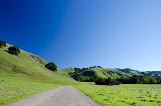
It was a beautiful day for a hike.  It was pretty green that day, since we had some rain about a week or two earlier.  Enough to get the hills green but not too muddy.
 

Sunday, December 6, 2015

Monterey, 12/5/15 - 12/6/15

12/5/15; Pacific Grove.  Went to the Monarch Sanctuary in Pacific Grove.


Afterwards we headed to Monterey to walk along the coastal path.  There were more seagulls than usual.  We found out they were dining on Tuna Crabs that washed to shore.


12/6/15; Point Lobos. 5.26 miles.

Sunday, October 18, 2015

Mono County, 10/16/15 - 10/18/15

10/16/15, left for Silver Lake campground in June Lake in the afternoon.  Because I-5 was closed due to a mudslide, a tanker decided to take 108, and got stuck.  Luckily by the time we got the incident, the tow truck was there, and we were able to proceed after about 10-15 minutes.  We got to the campsite around midnight.  After getting the car set up for sleeping, we finally got to bed around 1am.

10/17/15, McGee Creek, 6.97 miles (.6 miles were added to the originally planned hike because I dropped my poncho and we went back to look for it).

We parked at the McGee Creek trailhead and hiked along the McGee Pass Trail.  It was really foggy, and we remained optimistic about the fall colors and weather, hoping to see the fall colors in a different atmosphere than we're used to.  There was intermittent drizzle, so we had to cover our cameras for most of the hike.  Time to invest in a Pentax?...
 

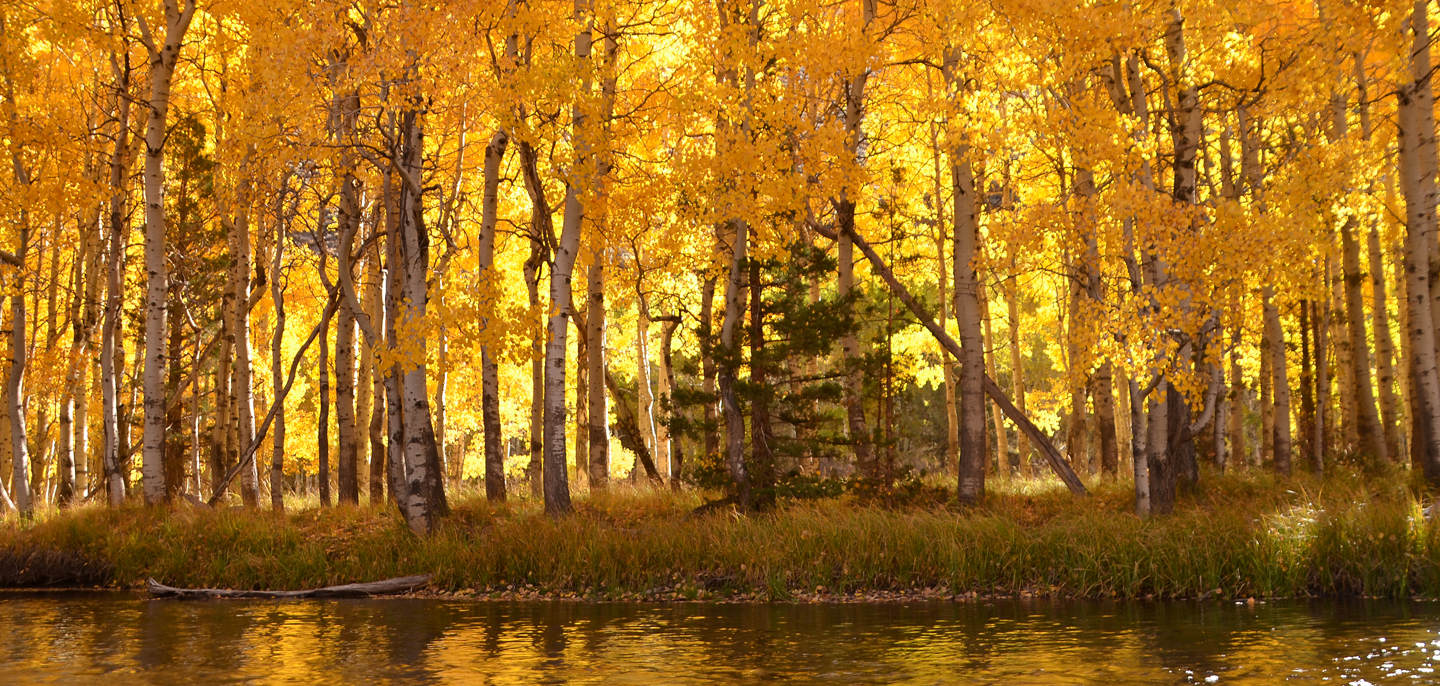
A lot of the apsen had been stripped of their leaves already :(

Gold and dirt
Drizzle.  Shot with the Oly.
 
Lake created by the beaver dam
After reaching the beaver lake, we took a lunch break, and then turned around and headed back.  It started to rain, so we put on the ponchos.

Back at the parking lot, we explored the creek, and were amazed by all of the fallen leaves.
 
 
Spotted a rainbow on the drive back
10/18/15; It was raining all morning.  We drove to Convict Lake hoping it wouldn't be raining there, but it was, so we opted to go home early.

Note to self regarding gas.  5 gallons with a 36MPG car is more than plenty to get to Pinecrest from Bridgeport.
Base price: $2.75/gal
Mammoth: $3.79/gal
June Lake: $4.09/gal
Lee Vining/Bridgeport: $4.39/gal
Pinecrest: $2.79/gal


Tuesday, September 29, 2015

Mt Tamalpais, 9/26/15

2.9 mile loop; Rock Spring TH, Cataract Trail, Simmons Trail, (Barth's Retreat), Mickey O'Brien Trail, Laurel Dell Fire Road, (Ray Murphy's Bridge), Cataract Trail.
Because of the drought, and the season, there were no cascades along the portion of Cataract Trail that we hiked.  The water level was low.  There were lots of gnats.

CA State Park Brochure

Turnout right before Rock Spring TH

Simmons Trail
Laurel Dell Fire Road
I think this is from Ray Murphy's Bridge
The rest are of these shots are along the dried up Cataract Creek.  At least there's still some greenery!


Sunday, July 12, 2015